Spatial monitoring of the distribution of chlorophyll-a concentrations in the shallow areas of Lake Titicaca.
Javier Alberto Maldonado Alfaro1
1Instituto de Investigaciones Geográficas (IIGEO), Universidad Mayor de San Andrés (UMSA), Campus de Cota Cota, Calle 26 s/n, La Paz, Bolivia.
Pilot Project UNDP/GEF 05-B-05 'Permanent Titicaca Observatory'.
Aquatic ecosystems are negatively affected by eutrophication, the main nutrients being nitrogen (N) and phosphorus (P) or a combination of both, which controls phytoplankton growth, biomass and species composition. This phenomenon is increasingly frequent
in various parts of the world and is closely associated with urban development, agricultural and industrial activities. In addition, there are other indirect factors, such as the damming of rivers, modification of vegetation, land
use, and climatic changes (global warming), thus creating optimal conditions for uncontrolled proliferations or "blooms" of phytoplankton microalgae. Eutrophicated waters have negative ecological, health and economic impacts.
Spatial remote sensing becomes a useful tool to monitor the concentration of chlorophyll-a present in Lake Titicaca, obtaining a good spatial and temporal coverage. Chlorophyll-a is the main pigment responsible for
photosynthesis of phytoplankton (and plants in general). The chlorophyll-a concentration of phytoplankton can be used as a proxy for its biomass.
In situ measurements of chlorophyll-a from the buoy and periodic monitoring campaigns allow validation of measurements obtained from satellite imagery. The satellite estimates of chlorophyll-a obtained in
this manner allow us to map its spatial distribution at the scale of Lake Titicaca. Thus, it is possible to locate areas of higher concentrations in order to anticipate the development of blooms of phytoplankton microalgae.
Satellite images (Sentinel 2)
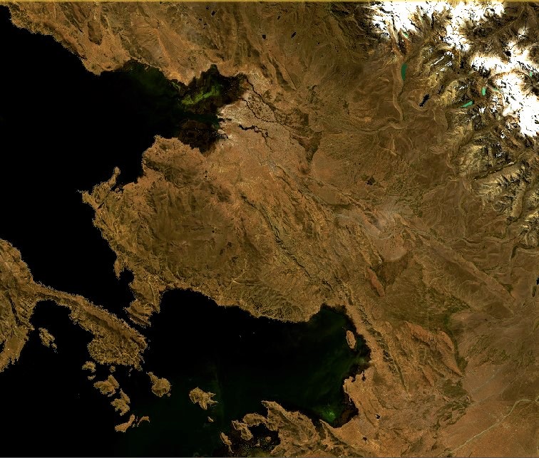
Sentinel-2 RGB image, Northeast and Central region of Minor Lake, Tiquina Strait and South of Major Lake.
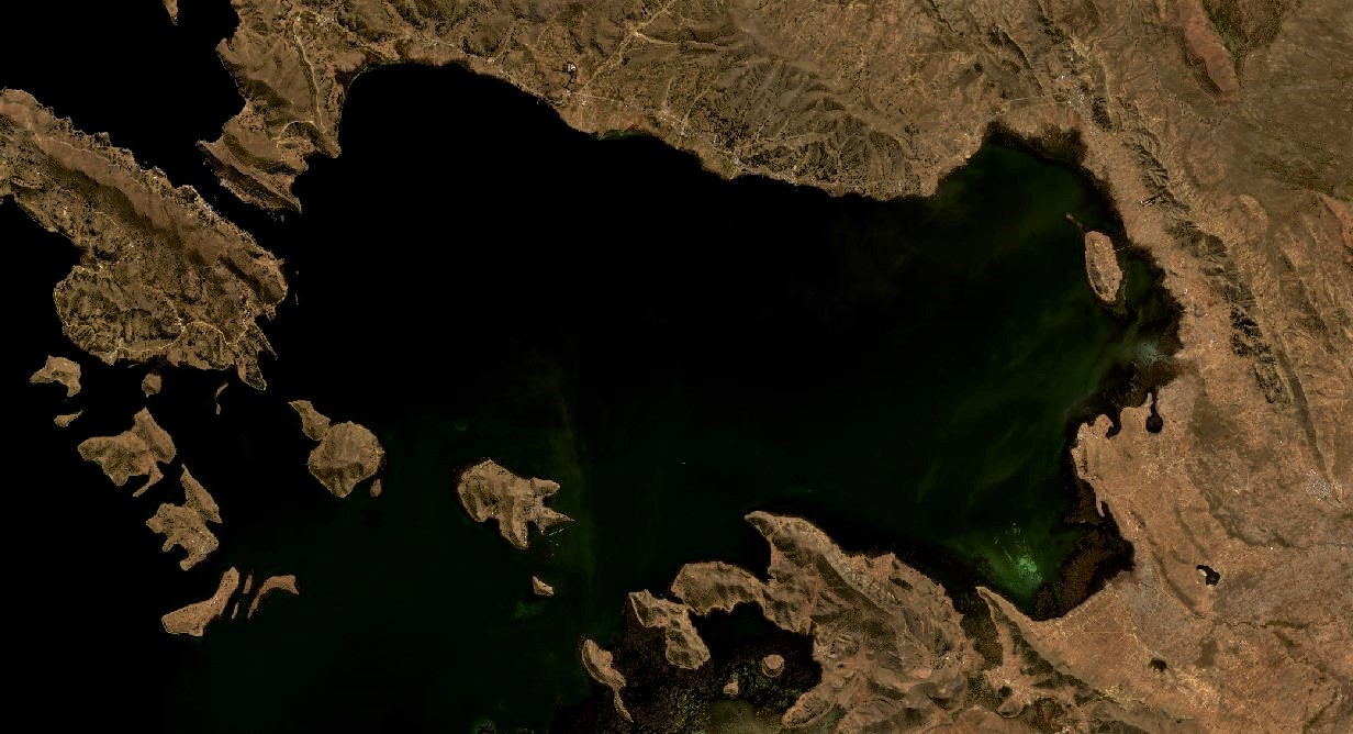
Sentinel-2 RGB image, detail of the Northeast and Central region of Minor Lake, around Cohana Bay.
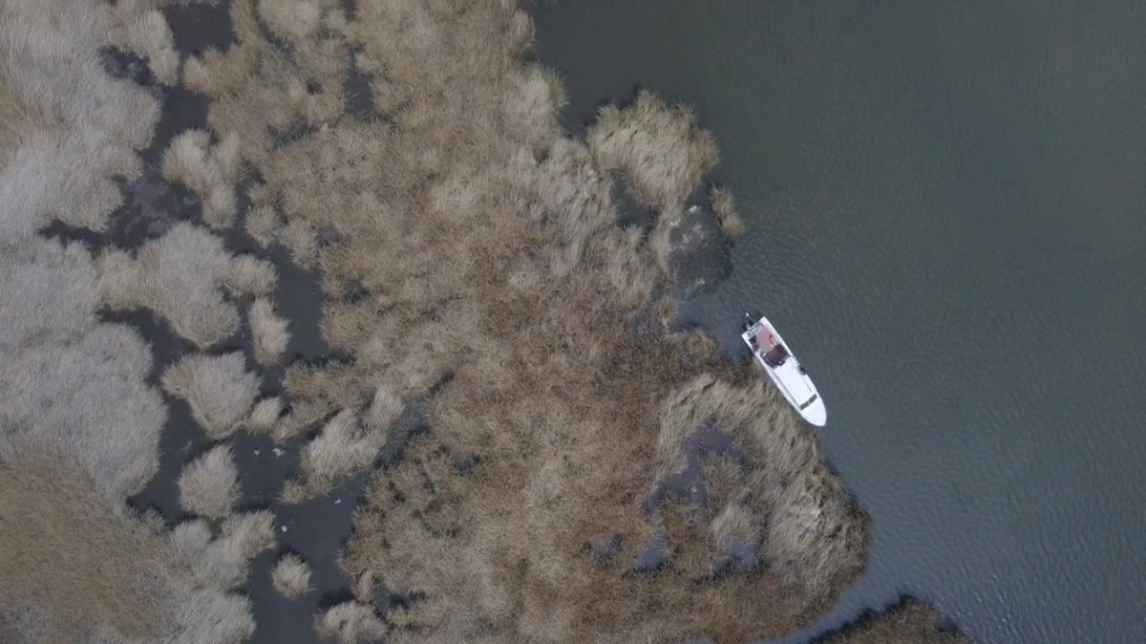
Drone images (DJI Mavic Pro, Phantom 3) in November 2020

Shore of Cojata Island, South of Huarina. Boat 'Inti' (catari) of the visible project.
Totorales of Cojata Island.

Totorales of the southern sector of the Bay of Puerto Pérez.
Cumana lagoon without water,during the dry season. A burned plot of land can be seen. In the background the town of Cumana.

Cumana lagoon without water with several burned plots.
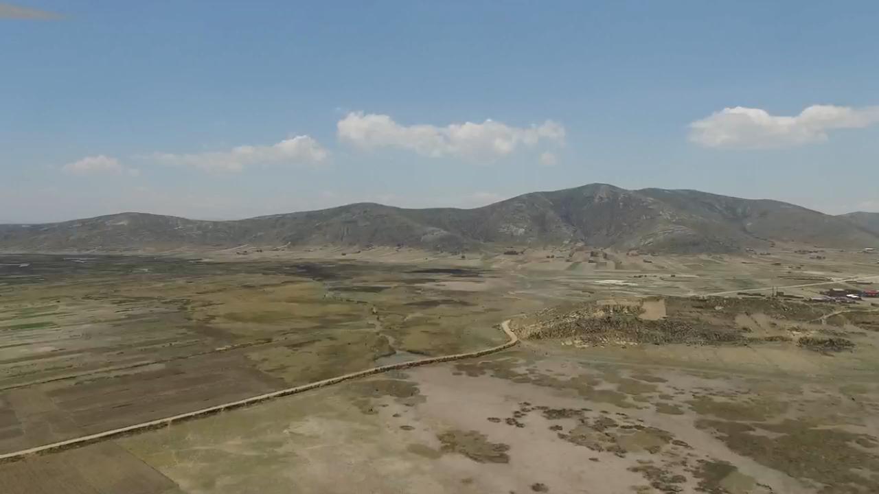
Inca bridge (center), Cumana bay (left) open to the northeast region of Minor Lake, and Cumana lagoon (right) without water.

Inca bridge, with the entrance to Cumana Bay, almost dry.